


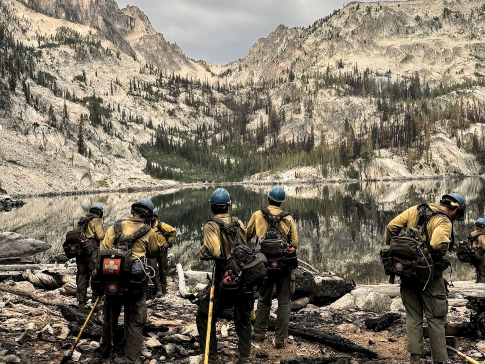
For as long as communities have faced the threat of wildfires, detection has been one of the most critical factors in protecting people, property, and natural landscapes. Generations of wildland firefighters, incident commanders, and local volunteers have relied on their eyes, ears, and deep familiarity with the land to spot trouble early. From the days of lookout towers perched on ridges to aerial patrols scanning vast stretches of forest, these traditional methods have saved countless lives and limited devastating losses. Today, as fire seasons grow longer, hotter, and more unpredictable, new tools are emerging that promise to work alongside those time-tested approaches—giving crews the ability to respond faster, more precisely, and with greater safety.
Artificial intelligence, satellite imaging, autonomous drones, and ground-based sensor networks are no longer just concepts for the future. They are here now, being deployed in active fire zones across the world. Rather than replacing the judgment and skill of seasoned firefighters, these technologies are designed to enhance their capabilities, delivering better information in less time and under conditions where human observation alone may not be enough. By combining the hard-earned knowledge of experienced crews with the reach and precision of modern detection systems, agencies can build a multi-layered defense against one of nature’s most destructive forces.
The Evolution of Wildfire Detection
For decades, wildfire detection relied primarily on human observation. In the early 20th century, lookout towers were a common sight in fire-prone regions across North America. Staffed by trained observers who could spot smoke plumes from miles away, these towers were a frontline defense during peak fire season. Aerial reconnaissance later became an important supplement, with small planes flying regular patrols over remote areas. In more recent decades, cameras and weather monitoring stations began to play a role, expanding the scope and consistency of coverage.
These methods remain vital. Even in the era of high-resolution satellite imagery, a seasoned firefighter who knows the terrain can often detect subtle signs of a problem that technology might miss. But the challenge today is scale. Wildfire seasons are starting earlier, lasting longer, and often overlapping with extreme weather events that strain resources. Detection systems that can cover vast areas continuously, regardless of weather or daylight, have become essential complements to the traditional playbook.
Satellites Bringing a New Perspective
One of the most significant developments in modern wildfire detection is the deployment of low-Earth orbit satellite constellations designed specifically for environmental monitoring. Projects like FireSat—developed in partnership with Muon Space and the Earth Fire Alliance—are at the forefront of this movement. FireSat’s network of satellites uses visible, short-wave infrared, and thermal imaging to detect heat signatures from wildfires. With the ability to scan large areas every 15 minutes and detect hotspots as small as five meters across, these satellites can identify potential fires well before they become visible to ground crews or aircraft.
In practice, this means that a fire sparked by lightning in a remote canyon could be detected, verified, and reported to the appropriate agencies before smoke has even reached the canopy. This kind of speed is critical, especially in wind-driven conditions where minutes can make the difference between a controllable blaze and a fast-moving disaster. The data from these satellites doesn’t just provide coordinates—it delivers thermal maps, fire perimeter outlines, and ongoing updates as conditions change. When integrated into command centers, this information allows for faster decision-making and better allocation of suppression resources.
Artificial Intelligence Enhancing Accuracy
While satellites provide the “eyes” in the sky, artificial intelligence supplies the processing power to make sense of the massive volumes of data they generate. AI algorithms are trained to recognize the unique thermal and visual patterns of wildfires, filtering out false positives caused by industrial activity, solar reflections, or other heat sources. In some systems, AI can cross-reference satellite data with ground-based weather readings and historical fire behavior models to predict how a blaze might spread under current conditions.
This predictive capability is not intended to replace human judgment. Instead, it acts as an advisory layer, giving incident commanders a clearer picture of possible scenarios so they can plan accordingly. For example, if AI analysis suggests that a small ignition is likely to run upslope toward a populated area within hours, suppression resources can be pre-positioned for a rapid response. These models can also help crews anticipate changes in fire intensity or direction caused by shifting winds, allowing for safer operations and more effective containment strategies.
Ground-Based Sensors: Detecting Fires at the Source
Not all detection happens from above. Increasingly, fire agencies are deploying ground-based sensor networks in high-risk zones. These compact, weather-hardened devices monitor environmental variables such as temperature, humidity, wind speed, and air quality. Some are equipped with infrared or optical cameras capable of spotting smoke or flames in their field of view. When readings exceed established thresholds, the sensors send automated alerts to command centers, often with GPS coordinates and live data streams.
The advantage of ground sensors is their ability to detect fires in areas where satellites might have limited visibility due to cloud cover or dense smoke. They also operate continuously, regardless of time of day, and can be strategically placed along powerline corridors, in recreation areas, or near critical infrastructure. In regions where human patrols are limited, these sensors act as an ever-present watch, complementing both traditional observation and aerial detection systems.
Drone Technology Extending Reach and Capability
Drone technology has advanced rapidly in the last decade, and wildfire applications are among the most promising uses. Drones can be deployed quickly to assess a reported ignition, capturing high-resolution imagery and thermal data without putting personnel in harm’s way. In active fire zones, drones can fly at night or through dense smoke where piloted aircraft may be grounded, identifying hotspots and mapping fire perimeters in real time.
Some emerging systems involve drone swarms—multiple autonomous units working in coordination to cover large areas or deliver payloads of water or fire retardant. While still in the testing phase, these systems have the potential to provide targeted suppression in areas that are otherwise inaccessible, buying valuable time for ground crews to establish control lines. For reconnaissance and damage assessment after a fire, drones can quickly capture imagery that would take days to gather by foot or vehicle.
Integration: Building a Layered Detection Network
The true power of these technologies lies in integration. A modern wildfire detection strategy might involve satellites scanning broad regions, AI analyzing the data for signs of fire, ground sensors confirming localized conditions, and drones providing immediate visual verification. This layered approach reduces the risk of missed detections, shortens response times, and gives crews the best possible information for making tactical decisions.
Importantly, this model does not diminish the role of human expertise. Firefighters, dispatchers, and incident commanders bring critical judgment, adaptability, and situational awareness that no machine can replicate. Technology is a force multiplier, extending the reach and precision of human efforts, not replacing them.
Respecting the Legacy While Embracing the Future
Seasoned firefighters have built a legacy of resilience and dedication. The tools of the trade—hand crews cutting fire lines, water tenders holding perimeters, aerial drops from helicopters and fixed-wing aircraft—are still as vital today as they were decades ago. What is changing is the speed and precision with which fires can be detected and analyzed, giving those same crews the advantage of acting earlier and with more targeted strategies.
By respecting the experience of the past and integrating the tools of the future, agencies can create a balanced approach that draws on the strengths of both. Lookout towers, patrols, and community reporting remain foundational, but when paired with satellite imagery, AI modeling, and real-time sensor data, they become part of a more comprehensive, resilient defense against wildfire threats.
Looking Ahead
The coming years are likely to bring even greater integration of technology into wildfire management. Expanding satellite networks, improved AI algorithms, and more affordable sensor systems will make advanced detection accessible to more jurisdictions. As interoperability between agencies improves, data sharing will become faster and more efficient, ensuring that detection in one region can benefit crews across an entire network.
For communities, the message is clear: investment in early detection technology is an investment in safety, efficiency, and resilience. By supporting both the tried-and-true methods and the latest innovations, we can ensure that the next generation of wildland firefighters is equipped to face the challenges of an evolving fire landscape—without losing the invaluable knowledge passed down from those who came before.
-

Rancher Series
The RANCHER® is a professional firefighter-grade system that comes with top-of-the-line components...

Folding Roof Top Sprinkler
$49.95 CAD
The Folding Roof Top Sprinkler is designed to enhance wildfire defense by wetting the roof...

Mounted Roof Top Sprinkler
$68.20 CAD
Wildfire Roof Sprinkler System – Mounted for Maximum Ember Defense The Mounted Roof Top Sprinkler...

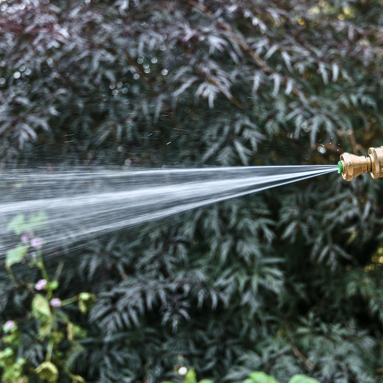
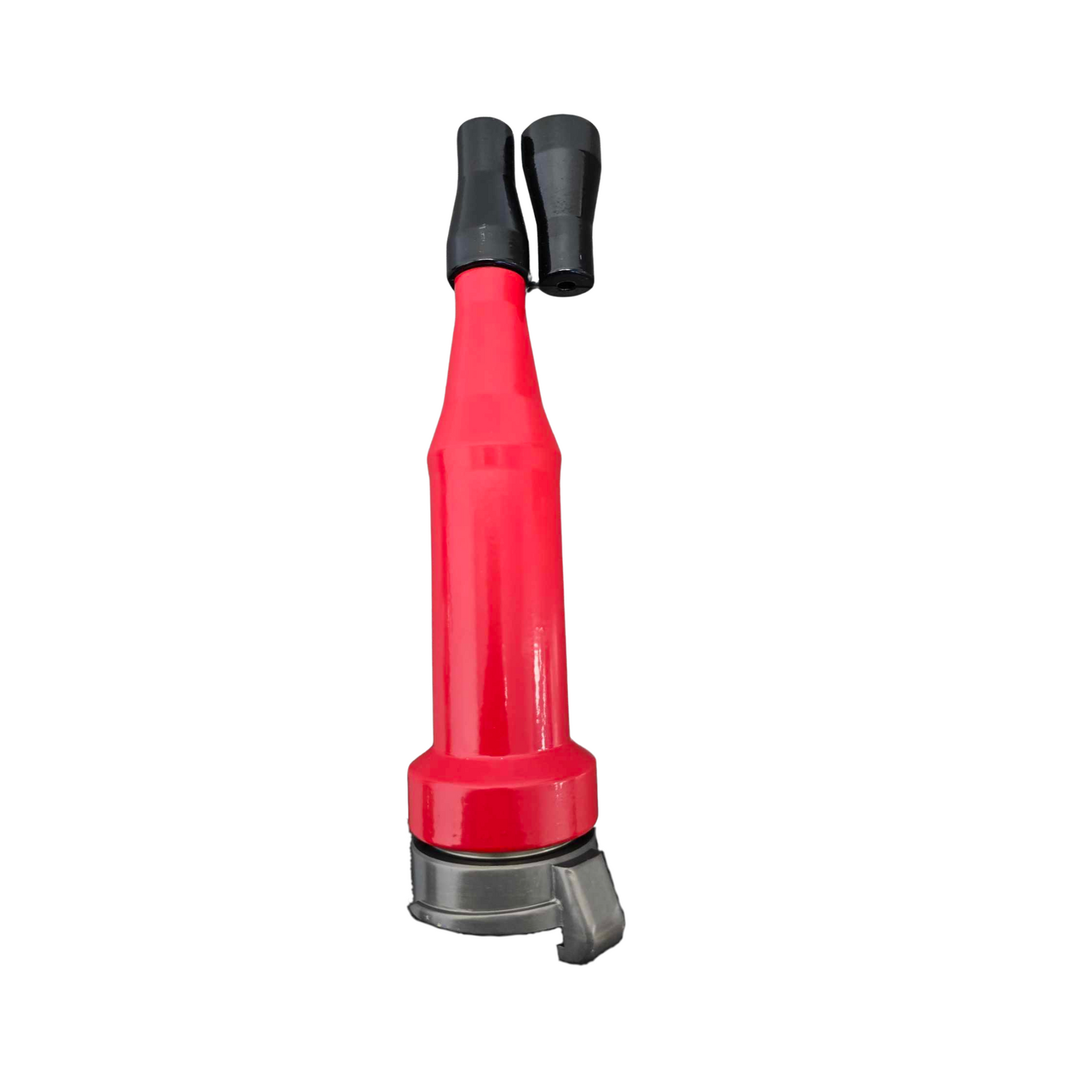
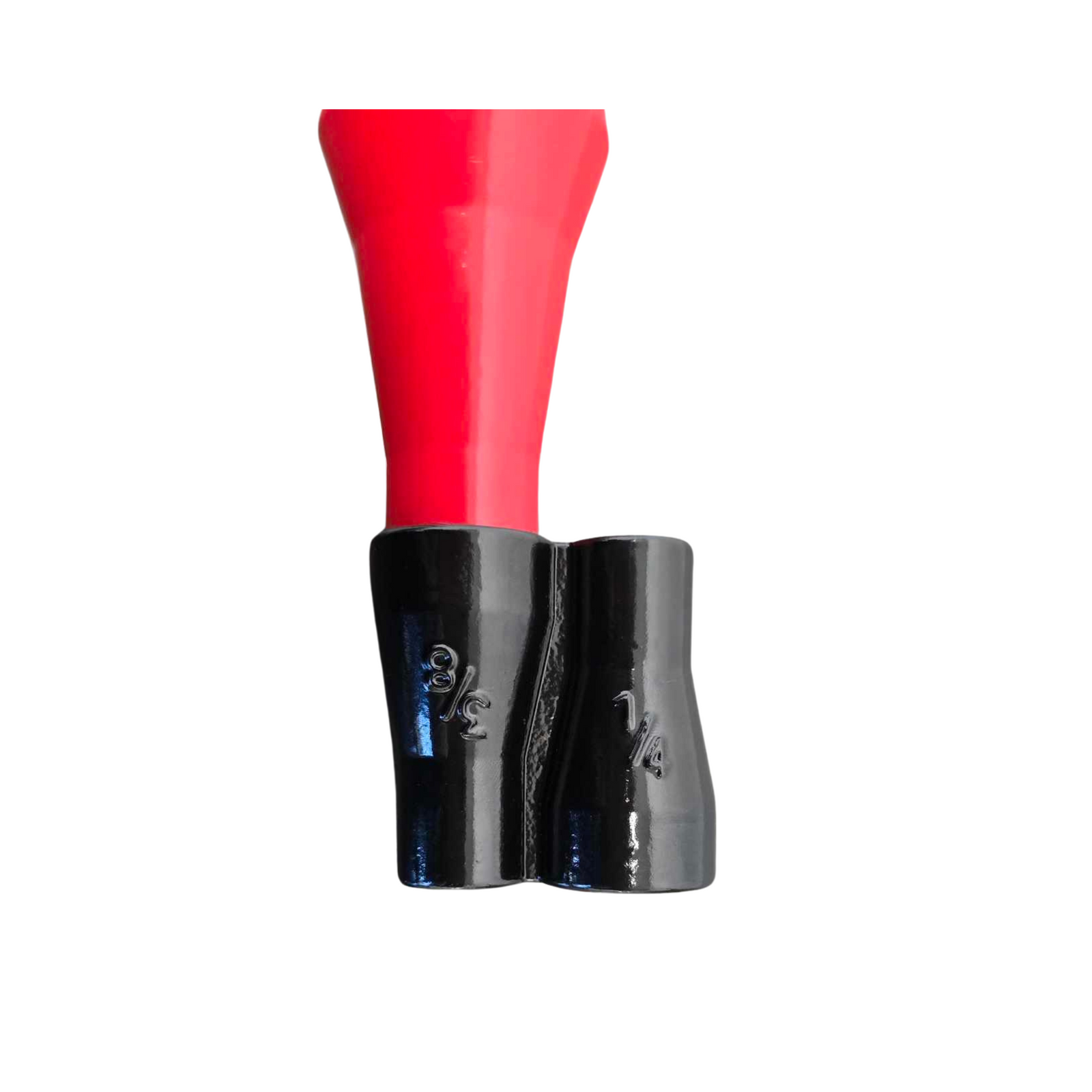
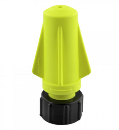
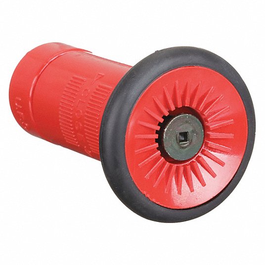
Brass Sweeper Nozzle
$13.13 CAD
Built from solid brass for durability and resistance to corrosion. It delivers a high-pressure, focused...
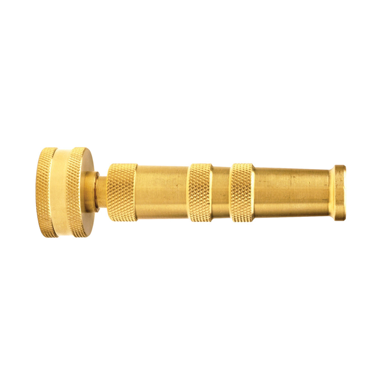
Brass Twist Nozzle
$31.49 CAD
Attributes Maximum Operating Pressure 150 PSI (water only) Weight 0.375 lb Break Quantity 1 Optional...
Sold out


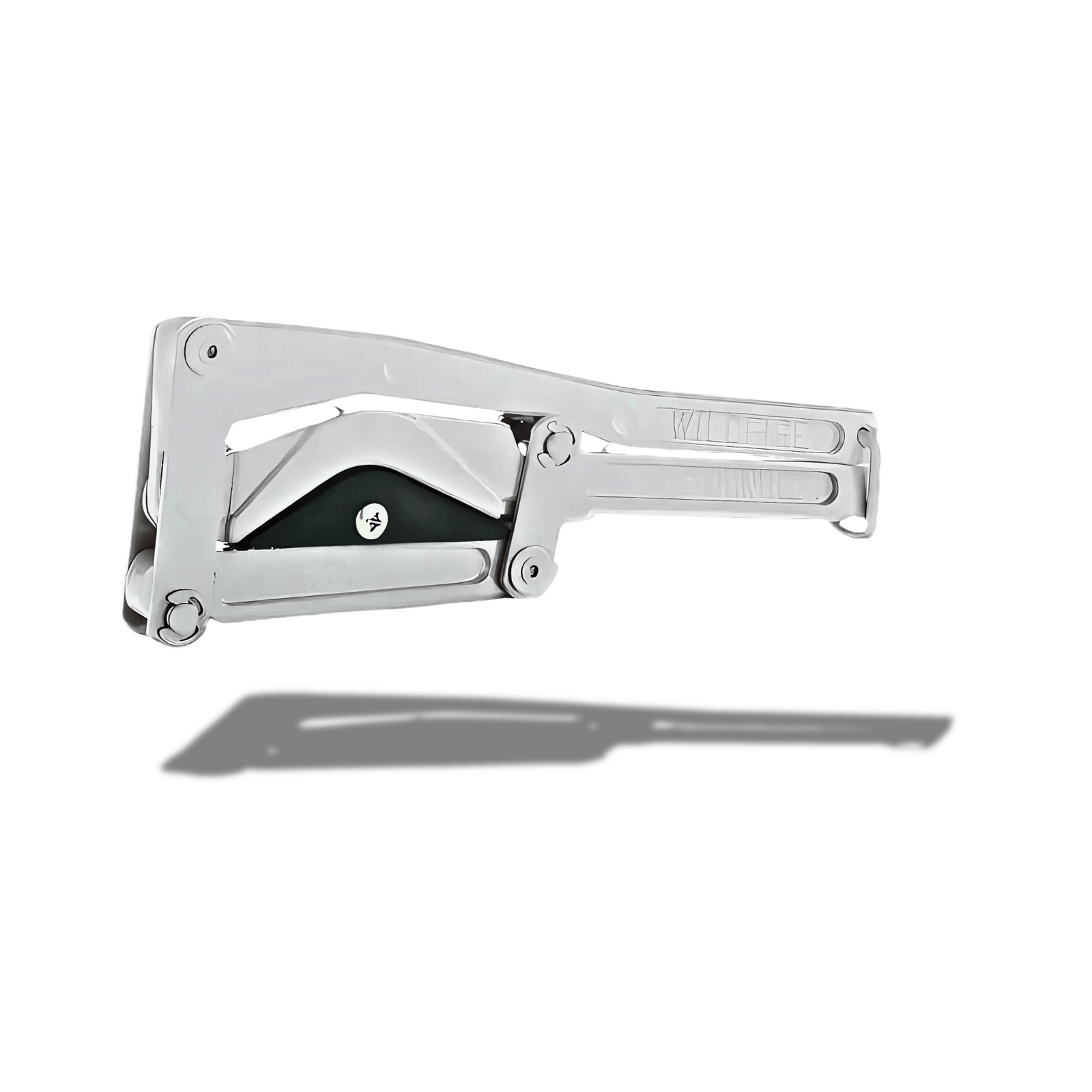
1.5"/2" Forestry Spanner Wrench
$18.00 CAD
For use in coupling and uncoupling 1" (25mm), 1.5" (38mm), 2" (51mm) hose line couplings,...
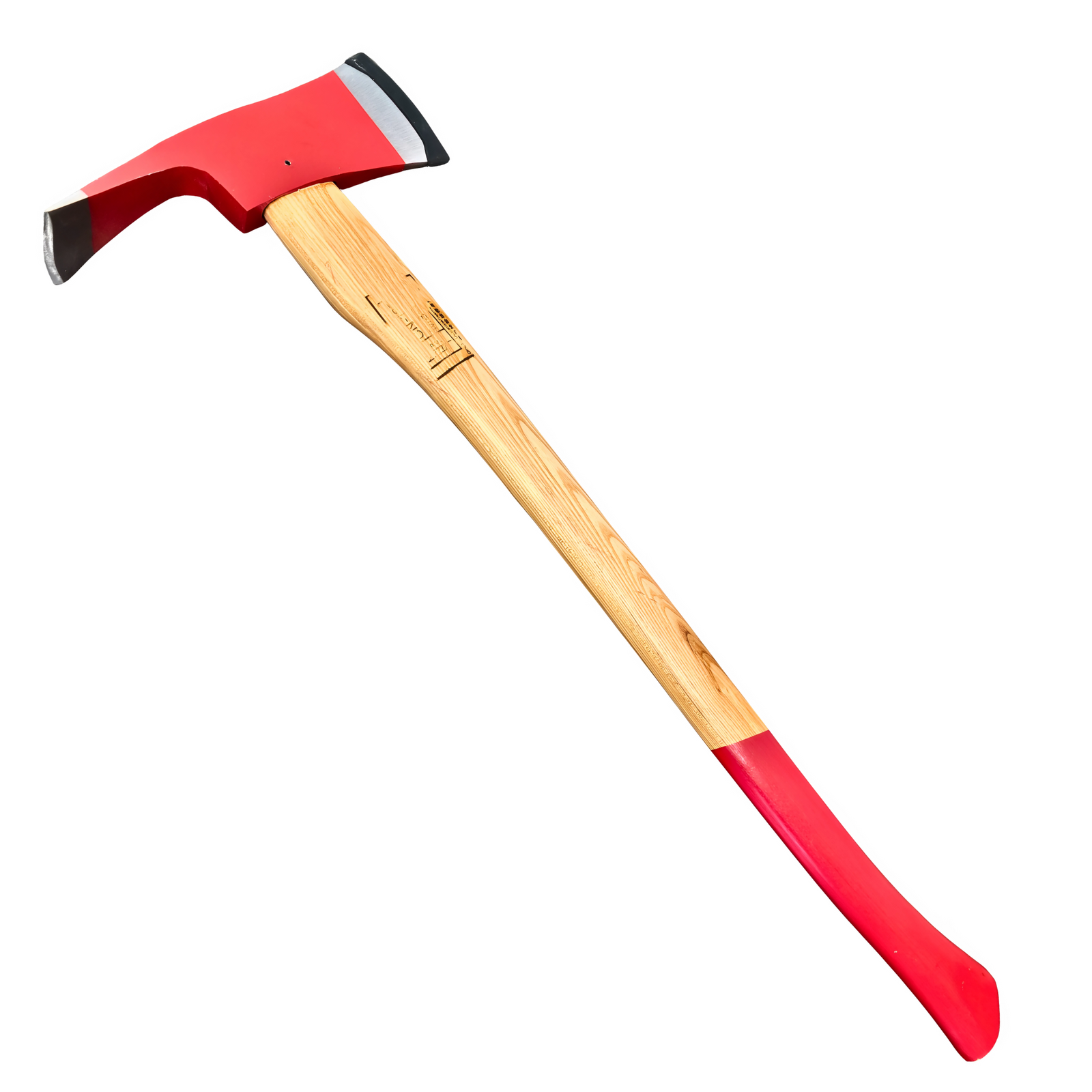

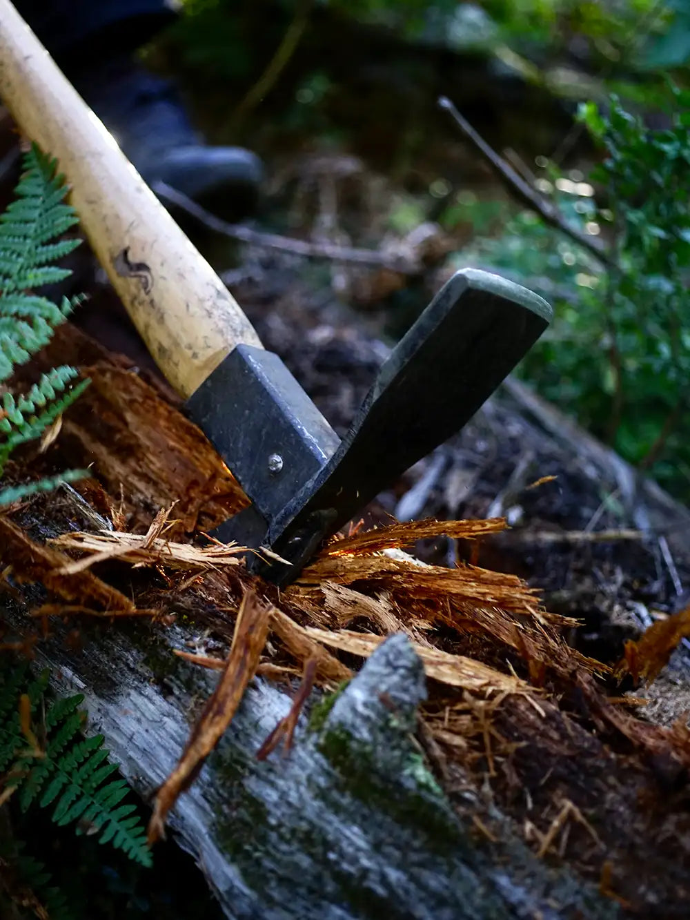
Pulaski Axe – Wildfire Brush & Root Removal Tool
$55.00 CAD
The Pulaski axe is a trusted tool for wildfire home defense. Its forged steel head...
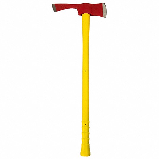
Pulaski Axe – Fiberglass Handle Wildfire Tool
$55.00 CAD
The Pulaski axe is a go-to tool for wildfire home defense. This model features a...


Round Mouth Shovel – Long Handle Wildfire Tool
$24.50 CAD
Shovel – Round Mouth 42" Hardwood Handle, Tempered Steel Blade Product Overview This round mouth...


Fire Swatter
$55.00 CAD
The Fire Swatter is a basic tool for smothering grass fires, embers, and surface flames. It...

Professional Fire Fighting Broom
$69.04 CAD
Used for fighting fires in the grass and underbrush Used in fire line construction and...
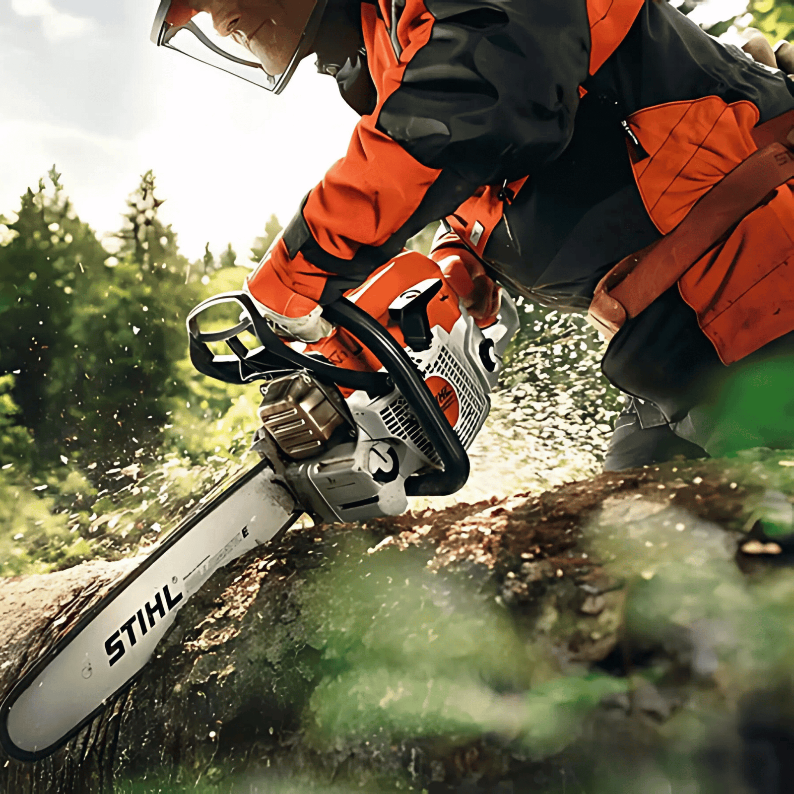

MS 362 C-M 20" Chainsaw
$1,059.99 CAD
MS 362 C-M gas chainsaw: a versatile chainsaw for professional use If you want to...
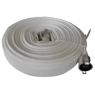
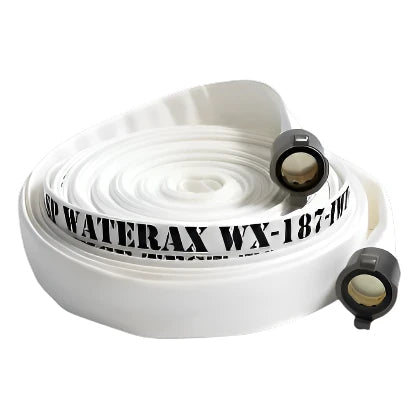
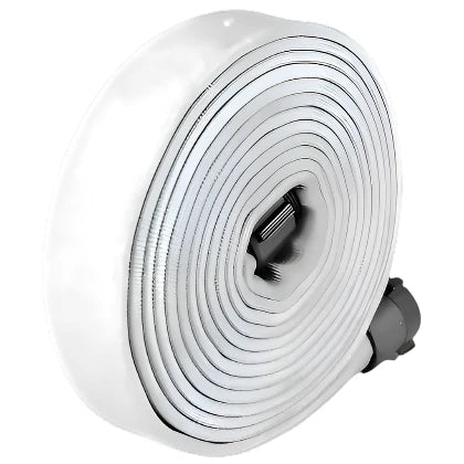
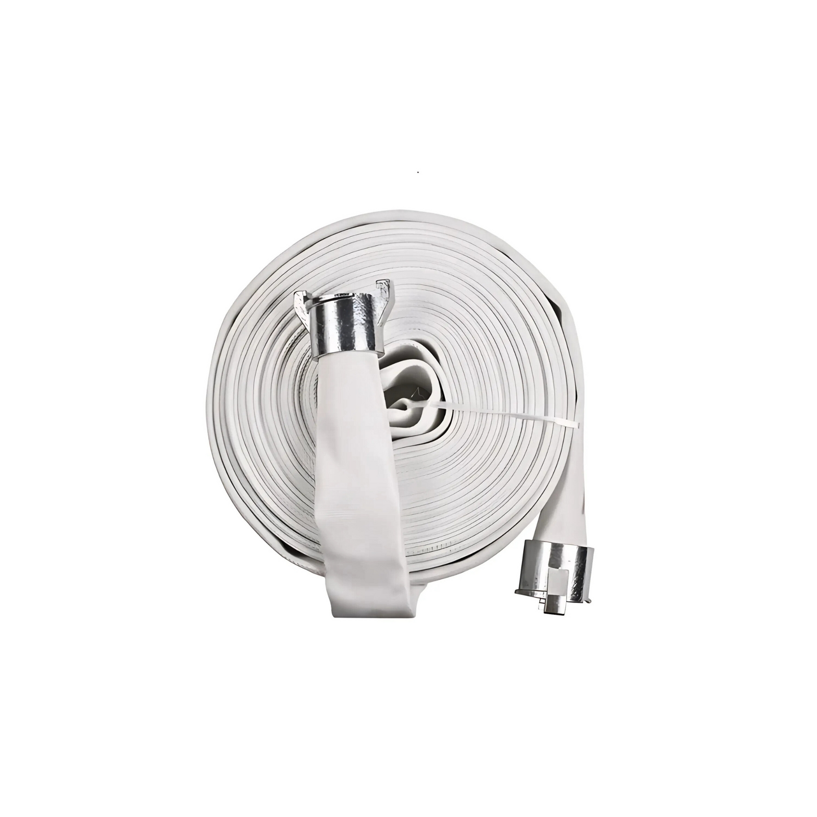
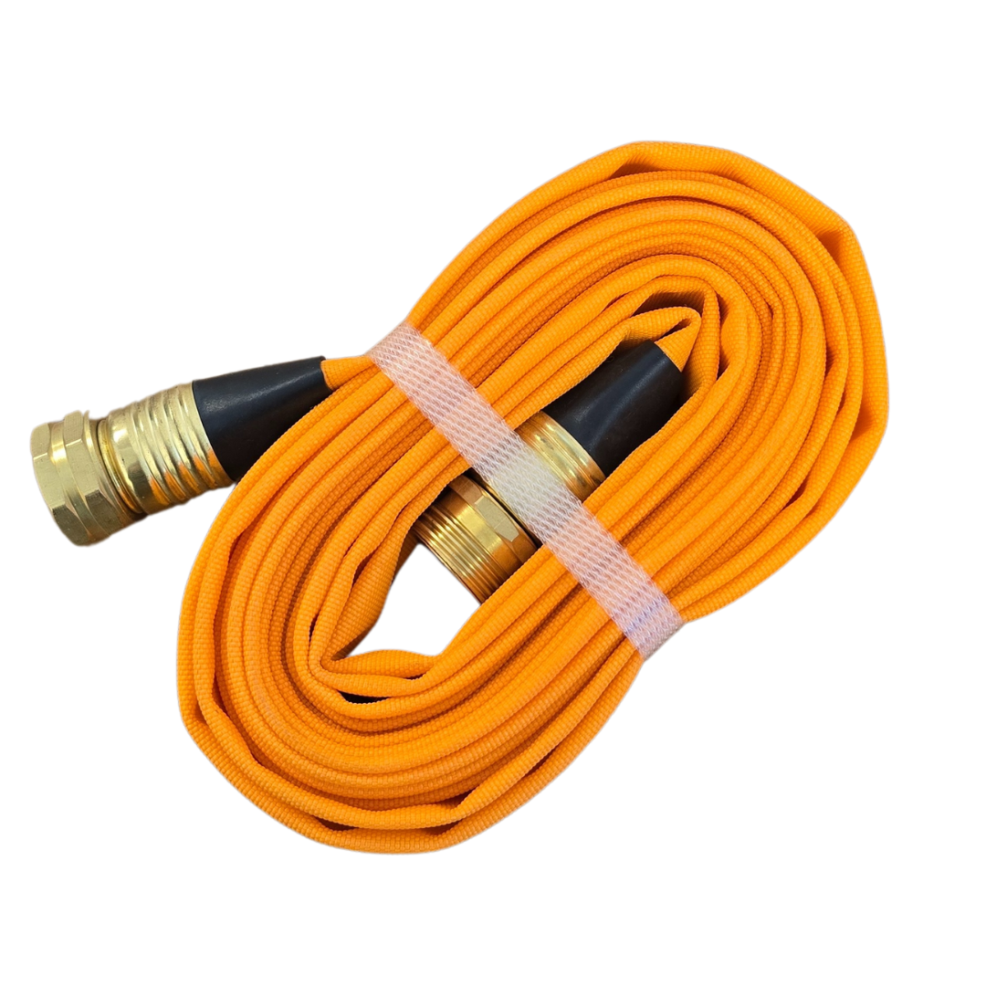
WX-187-I Synthetic Type I Forestry Lay Flat Hose - 1.5 X 50
$170.10 CAD
The WX-187-I is a remarkably lightweight synthetic forestry layflat hose. It is made of 100%...

1″ x 100′ WXT-187 I-Type I, Instantaneous Aluminum
$198.45 CAD
Product Overview This 1″ x 100′ WXT-187 Type I lay-flat forestry hose is equipped with...
WX-187-I Synthetic Type I Forestry Lay Flat Hose - 1.5 X 100
$237.30 CAD
The WX-187-I is a remarkably lightweight synthetic forestry layflat hose. It is made of 100%...
1.5" X 50' WX-187-IWP TYPE I WEEPING INST ALUM
$188.95 CAD
Wildfire remote Fireline applications Forestry mop-up and sprinkler hose kits Quick access for brush fires,...
1.5 X 100 WX-187-IWP TYPE I WEEPING INST ALUM Hose
$271.95 CAD
The WX-187-IWP is a single-jacket filament polyester lay flat hose that weeps for self-protection. This...
2.5" Type 1 fire hose W/ BCT Ends
$303.00 CAD

1.5" X 100' WX-187-II Type II INST ALUM
$282.98 CAD
The WX- type II is a single-jacket spun polyester lay flat hose that is treated...
Sold out
1.5" x 25' x Synthetic woven Jacket QC Hose
$128.00 CAD
This hose features quick connect (QC) fittings, allowing for fast and secure attachment to pumps,...
3/4" x 15' GHT Guard'N Flo
$56.95 CAD
Product Overview The Guard'N Flo 3/4" x 15' forestry hose is a short-length, high-visibility line...
B-5420 STRANGLER, ALUMINUM HOSE CLAMP
$189.39 CAD
Specifically designed for thin walled synthetic hoses, it has two positions or settings for different...

HOSE MENDER SLEEVE-SS - 1"
$14.96 CAD
The MK-152B is an emergency repair sleeve used for temporary field repair on 1” (25...

HOSE MENDER SLEEVE-SS - 1.5"
$14.96 CAD
The MK-152B is an emergency repair sleeve used for temporary field repair on 1” (25...
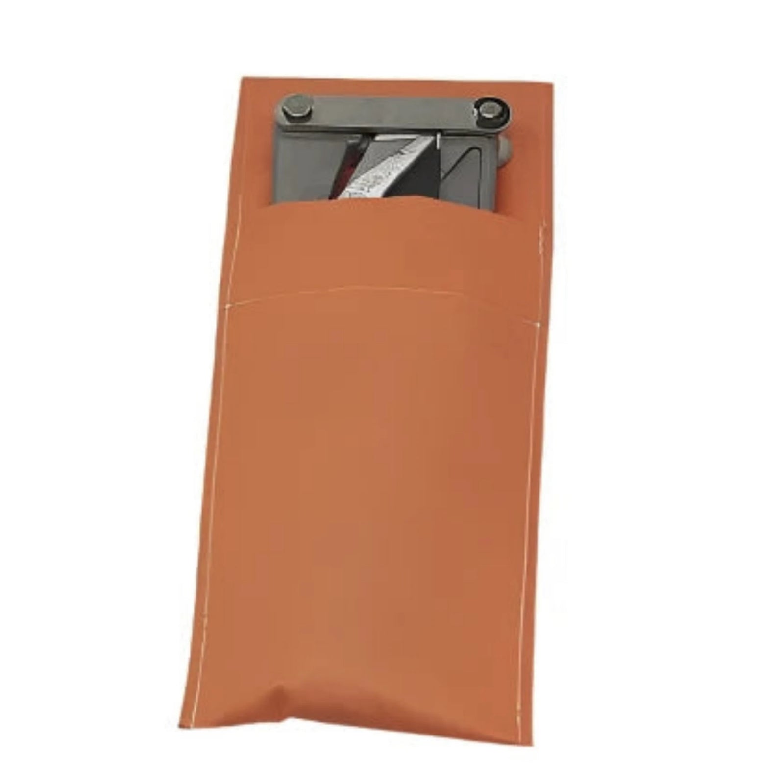
FA-149 STRANGLER POUCH
$46.84 CAD
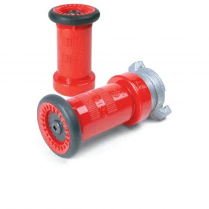
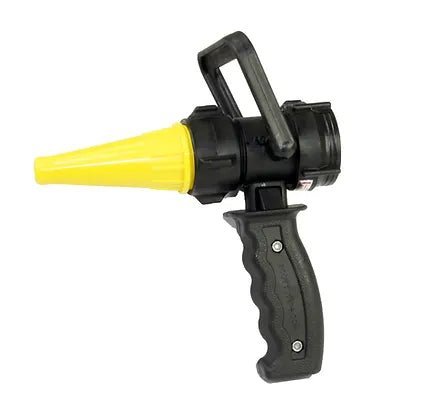
Fire Nozzle – 1.5" NPSH Revolver, 5–8 GPM, Adjustable Flow
$58.74 CAD
"Revolver" Nozzle, adjustable flow patterns, 5 to 8 GPM, 1½" NPSH, Yellow - 4044-NP
Sold out
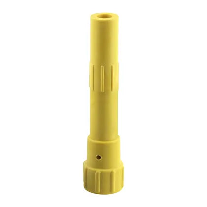
Rocket Nozzle for 4000 Hand Pump, ¾" GHT
$11.60 CAD
Scotty Rocket NozzleThe Scotty Rocket Nozzle is an adjustable nozzle that produces a super fine jet stream...
Brass Sweeper Nozzle
$13.13 CAD
Built from solid brass for durability and resistance to corrosion. It delivers a high-pressure, focused...
Brass Twist Nozzle
$31.49 CAD
Attributes Maximum Operating Pressure 150 PSI (water only) Weight 0.375 lb Break Quantity 1 Optional...

Sold out
Penetrator Nozzle with 1½" NPSH w/ 4085 Connector
$17.49 CAD
¼” tip opening for penetrating deep into the forest duff. Tip opening can be bored...
3 GPM Air Aspirating Foam Nozzle, w/ ¾" GHT Female
$18.22 CAD
PRODUCT OVERVIEW: Manufactured from engineering grade, composite polymers for durability at the fire scene. Air...


Sold out
TRAP DOOR HOSE PACK 2- HOSE ROLL
$262.49 CAD
Configure your hoses in rolled or progressive-style with this heavy-duty Wildland Hose Pack. This sturdy...
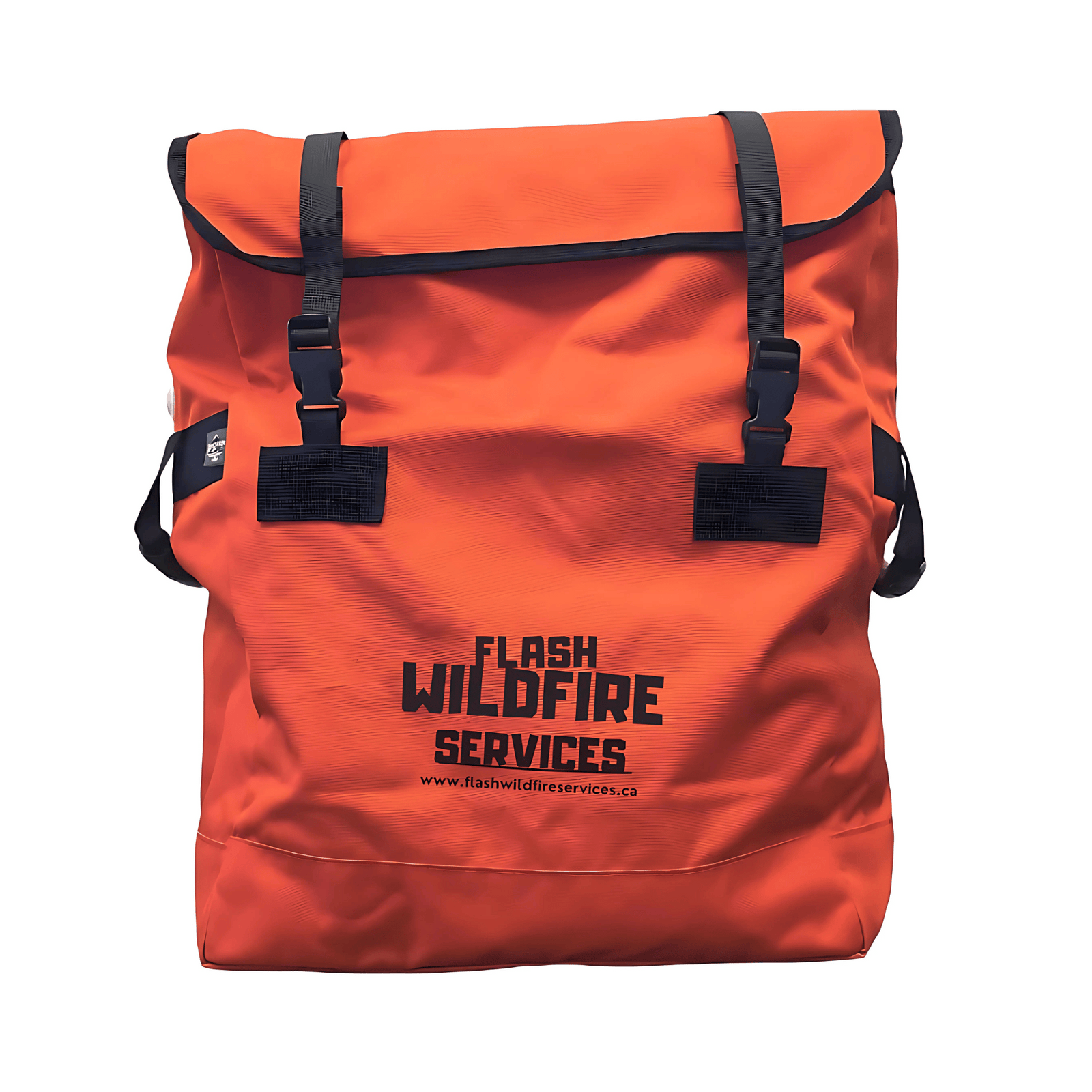
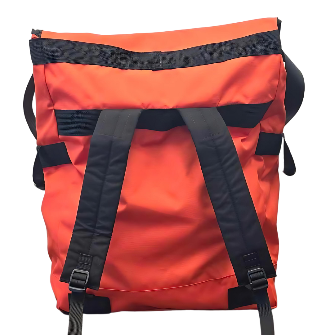
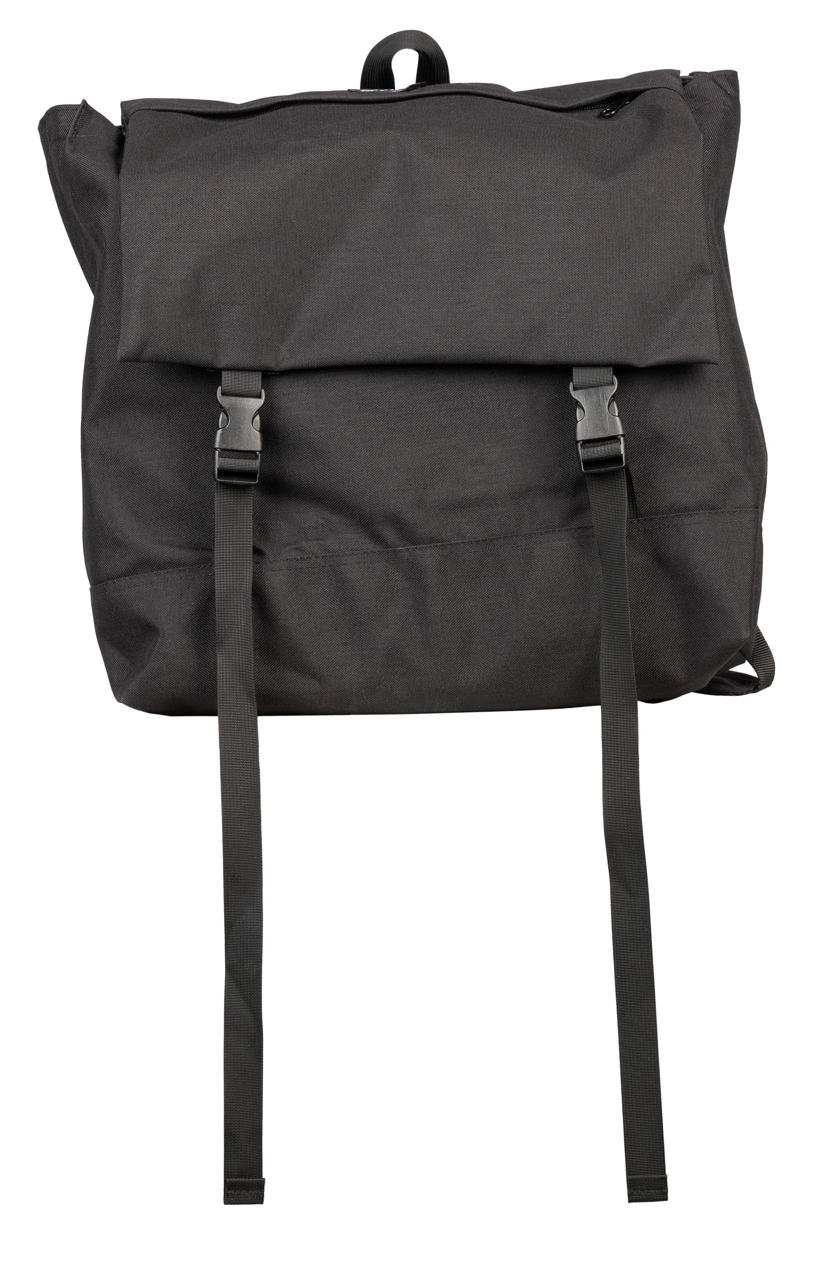
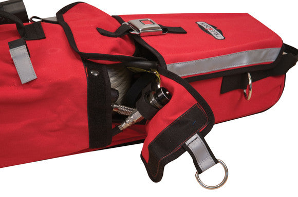
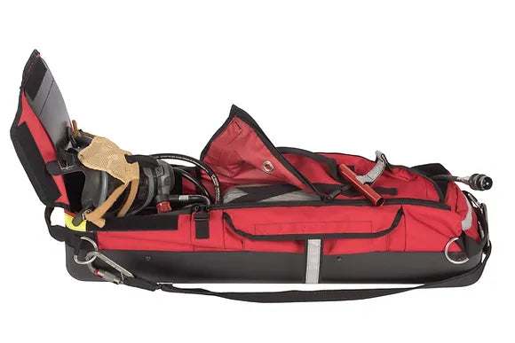
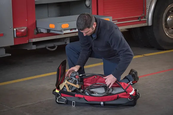
Forestry Hose Bag
$234.00 CAD
The Forestry Hose Bag is designed to meet the rigorous demands of forestry firefighting environments,...
BGHOPPUM PUMPER HOSE BAG
$250.95 CAD
The BGHOPPUM Pumper Hose Bag is engineered for rapid and efficient hose deployment in critical...

Sold out
L- 2 RIT BAG
$329.95 CAD
The ultra tough Iron-Cloth™combined with the Heat-Shield™Nylon 6.6 skid plate makes the L-2 one of...
Sold out
L-3 LITE-SPEED RIT BAG
$485.03 CAD
Perfect for all RIT, F.A.S.T. and R.I.C. operations, the durable, impact-resistant 3D molded Heat-Shield™ Polycarbonate...


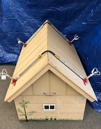
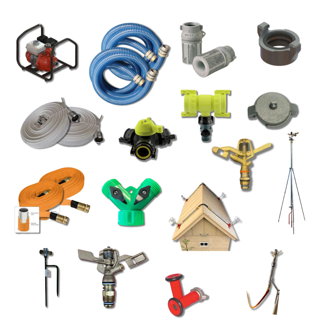
WASP Full Sprinkler Kit – Wildfire-Ready Roof Protection
$229.95 CAD
The Patented WASP Gutter Mount is made in North America and was developed for and...

Roof Sprinkler System Kit - Home Wildfire Defense System
$523.95 CAD
Includes: 4 each 24"x 1/2" aluminum nipple with brass fittings, 4 x Butterfly sprinklers( as shown in picture)...
Sold out
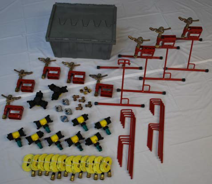
ESM-8 Sprinkler Kit – Mid-Sized Wildfire Zone Coverage
$3,495.00 CAD
Contents8 Elevated Sprinkler Mounts c/w #30 Rainbird Sprinklers8 Ground Spikes 4 OTRs8 1½” x ¾”...
Cabin Sprinkler Package – Compact Wildfire Ember Protection
$5,800.00 CAD
The Cabin Sprinkler Package is designed to provide comprehensive wildfire and ember defense for properties...
Acreage Sprinkler Kit – Wildfire Protection System for Large Properties
$9,838.71 CAD
The Acreage Sprinkler Package is designed to provide comprehensive wildfire and ember protection for large...

Estate Sprinkler Package – Wildfire Protection for Large Properties
$16,560.00 CAD
The Estate Sprinkler Package is designed for large properties, estates, and agricultural land, providing maximum...
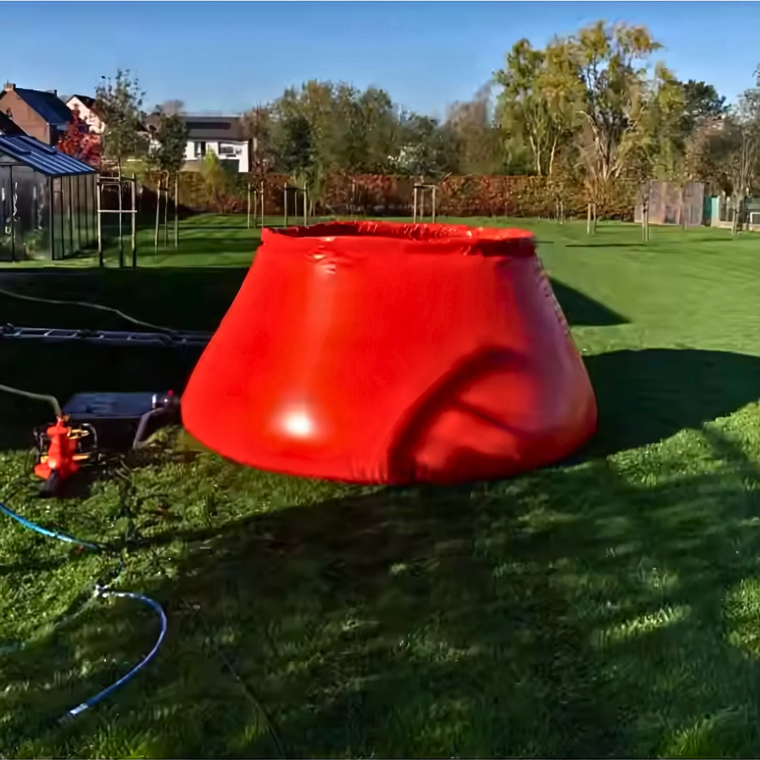
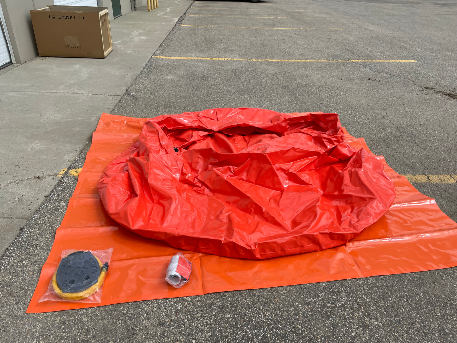
Onion Tank – 1000 Gallon
$750.00 CAD
1000 Gallon Onion Tank - Portable Water Storage for Wildfire Defense and Remote Properties The...

Onion Tank – 2500 Gallon
$1,450.00 CAD
2500 Gallon Onion Tank - Portable Water Storage for Wildfire Defense and Remote Properties The...

Husky® Folding Frame Tank – 1000 Gallon, Portable Containment
$3,295.00 CAD
Product Overview The Husky® Folding Frame Tank is a 1000-gallon portable containment system built for...

1000 Imp. Gallon Forestry Portable water tank W/Carrying Case and Ground Sheet
$2,295.00 CAD
1000 Imp. Gal forestry tank W/ Foam CollarComes With Ground Sheet and Carry Case

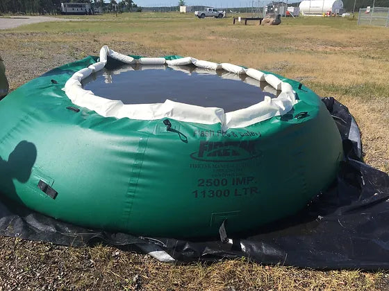
2500 Imp. Gallon Forestry Portable water tank W/Carrying Case and Ground Sheet
$3,144.75 CAD
2500 IMP/3000 us Gal forestry tank W/ Foam CollarComes With Ground Sheet and Carry Case
500 Imp. Gallon Forestry Portable water tank W/Carrying Case and Ground Sheet
$1,975.00 CAD
500 Imp. Gal forestry tank W/ Foam CollarComes With Ground Sheet and Carry Case
1500 Imp. Gallon Forestry Portable water tank W/Carrying Case and Ground Sheet
$2,295.41 CAD
1500 Imp. Gal forestry tank W/ Foam CollarComes With Ground Sheet and Carry Case
2000 Gal Imp. Gallon Forestry Portable water tank W/Carrying Case and Ground Sheet
$2,845.00 CAD
2000 Imp. Gal forestry tank W/ Foam CollarComes With Ground Sheet and Carry Case
Husky® Folding Frame Tank – 3000 Gallon, Portable Containment
$2,920.00 CAD
Product Overview The Husky® Folding Frame Tank is a 3000-gallon portable containment system built for...
Husky® Folding Frame Tank – 2500 Gallon, Portable Containment
$4,147.50 CAD
Product Overview The Husky® Folding Frame Tank is a 2500-gallon portable containment system built for...


SPU Flagging Tape
$2.50 CAD
SPU Flagging Tape offers 100 meters of durable, high-visibility marking tape, perfect for surveying, forestry,...
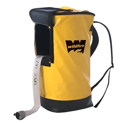
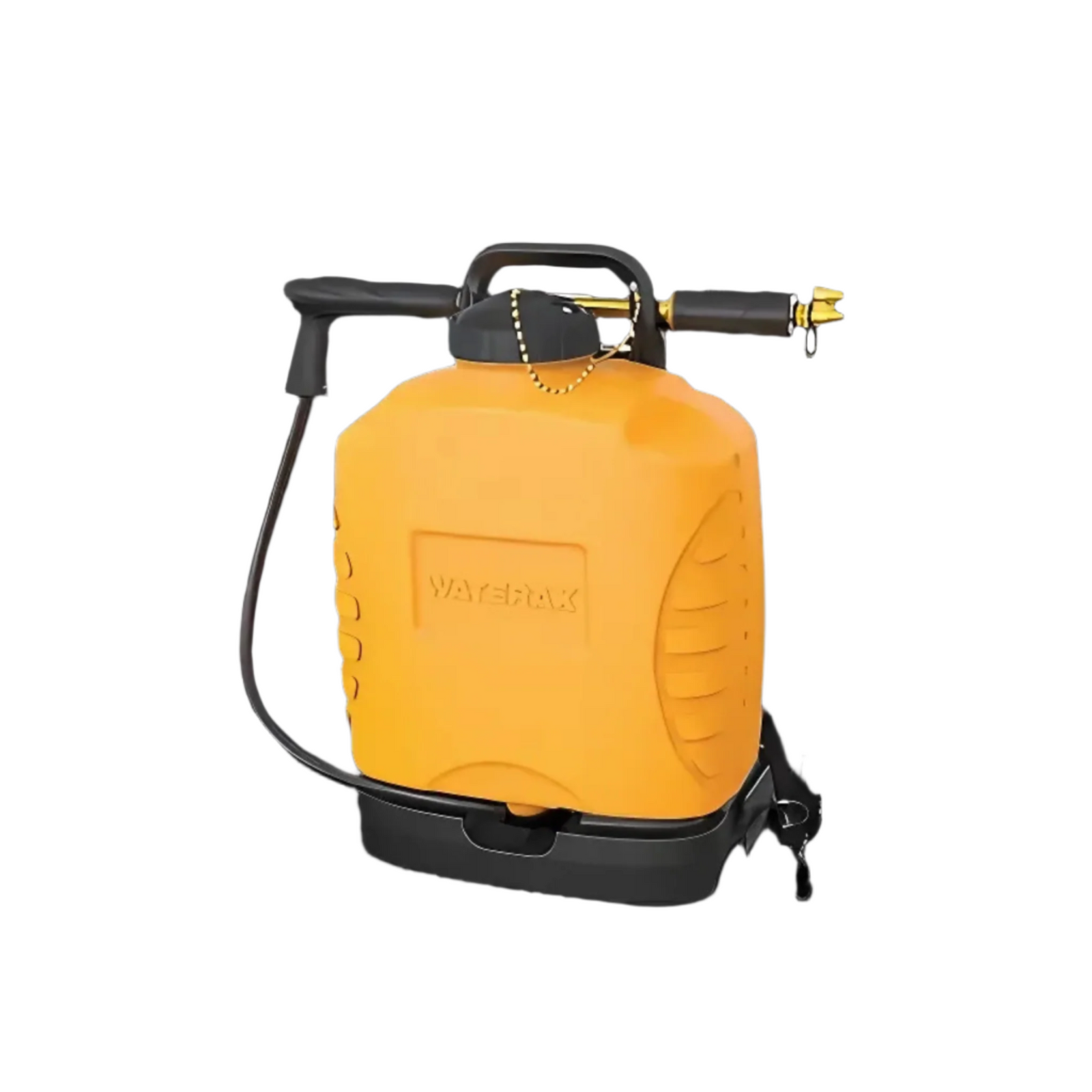
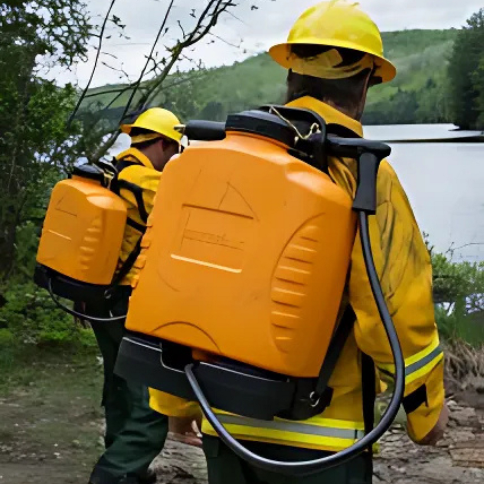
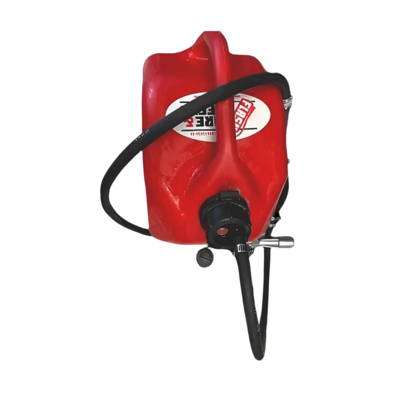
HPO-2X Neoprene Backpack with Brass Pump
$555.45 CAD
The HPO-2X Neoprene Backpack with Brass Pump is a rugged collapsible backpack fire pump designed...
Sale 13%
OT-4NX POLY BACKPACK W/BRASS PUMP
$333.11 CAD$289.00 CAD
The backpack hand pump is a valuable tool to quickly deliver water in many fire...


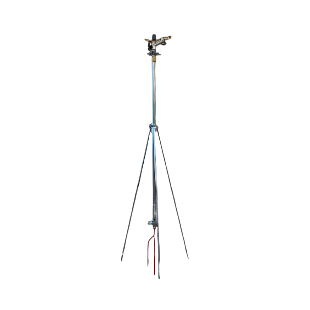

Adjustable Tripod Sprinkler – 1″ Riser for Wildfire Coverage
$249.99 CAD
1" tripod sprinkler set-up designed for efficient water distribution in agricultural, commercial, and residential applications....
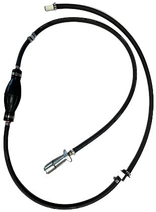
Mark 3 Fuel Line With Mercury Quick Connect
$141.75 CAD
Mark 3 fuel line with universal fuel can adapter, fits any Fuel can to easily...
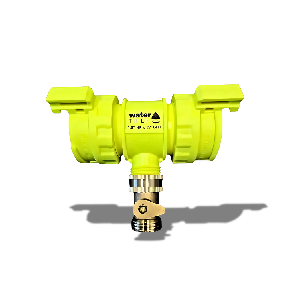
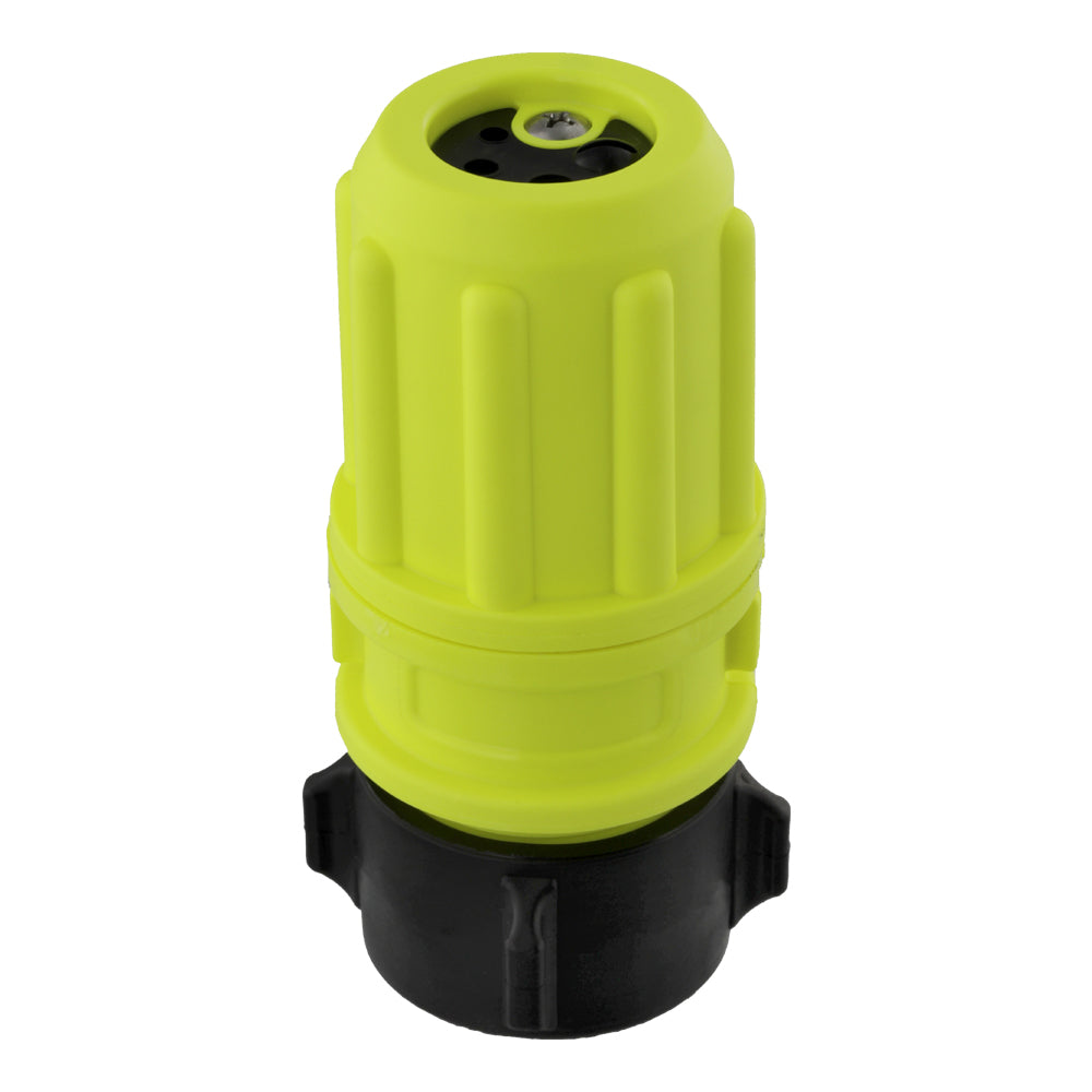
Water Thief – QTQC x QTQC x ¾" GHT
$26.96 CAD
Product Overview This water thief features dual QTQC inlets with a ¾" garden hose thread...
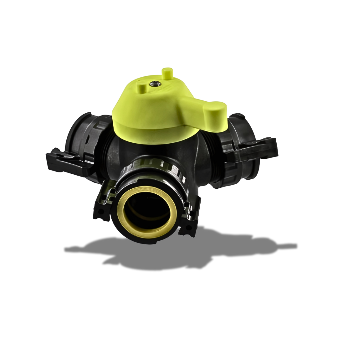
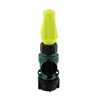
3 Way Valve With 1/4 Turn Connectors
$75.60 CAD
Product Overview This 3-way valve features three QTQC (Quick Twist Quick Connect) fittings to allow...
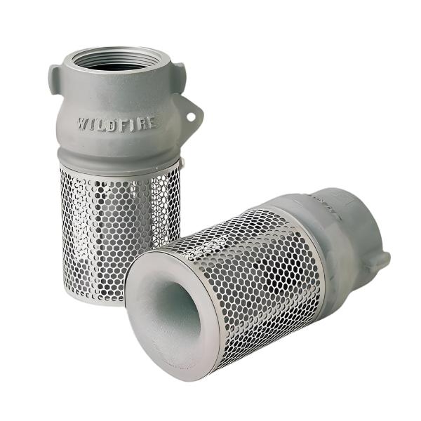
B-5258 FOOT VALVE AND STRAINER 2"
$216.93 CAD
Spring-loaded check valve, capable of holding a water head equal to 300 PSI. Designed with...


Mystery Ranch

Propper International

True North Gear

Clogger


Wildfire Readiness for Alberta Businesses: Practical Steps That Protect Property, People, and Operations
Wildfire season in Alberta runs from March 1 to October 31, with an annual average of over 1,300 fires—63% of which are caused by human activity. While not every blaze impacts businesses directly, those that do can cause devastating property loss, lengthy shutdowns, and long-term disruption.
At Flash Wildfire Services, we supply wildfire equipment to businesses, landowners, municipalities, and contractors across Alberta. This guide outlines actionable steps businesses can take to reduce wildfire risk—paired with field-ready products we carry and trust.
🔺 Risk Categories to Address
Employee safety and smoke exposure
Facility damage from fire or suppression efforts
Equipment and inventory loss
Evacuation disruption
Supply chain delays
Business continuity interruptions
1. Protecting Employees from Wildfire Hazards
Wildfire smoke contains fine particulates that can cause or aggravate:
Respiratory illness
Cardiovascular issues
Eye, nose, and throat irritation
Best Practice: Implement a wildfire response plan that includes:
Chain of command and emergency contacts
Air quality monitoring protocols
Evacuation trigger thresholds
Protective gear access (e.g. N95 masks, safety eyewear)
Communication plans for onsite and remote teams
Tip: Monitor Alberta Wildfire Status and AQHI daily during fire season.
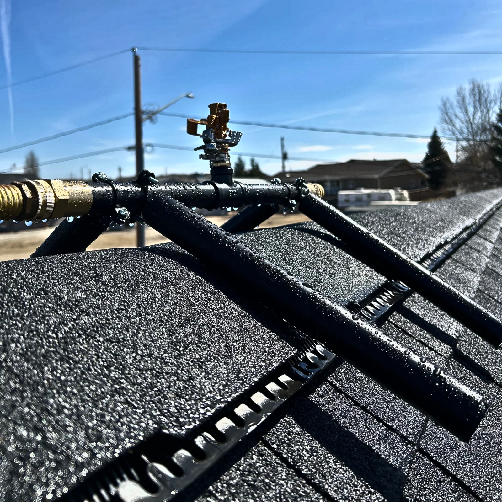
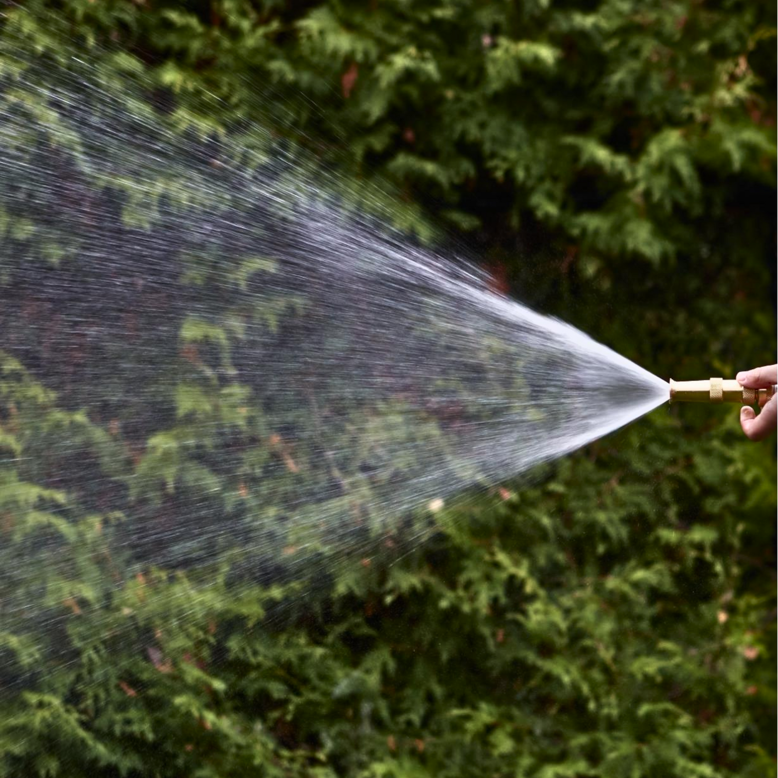
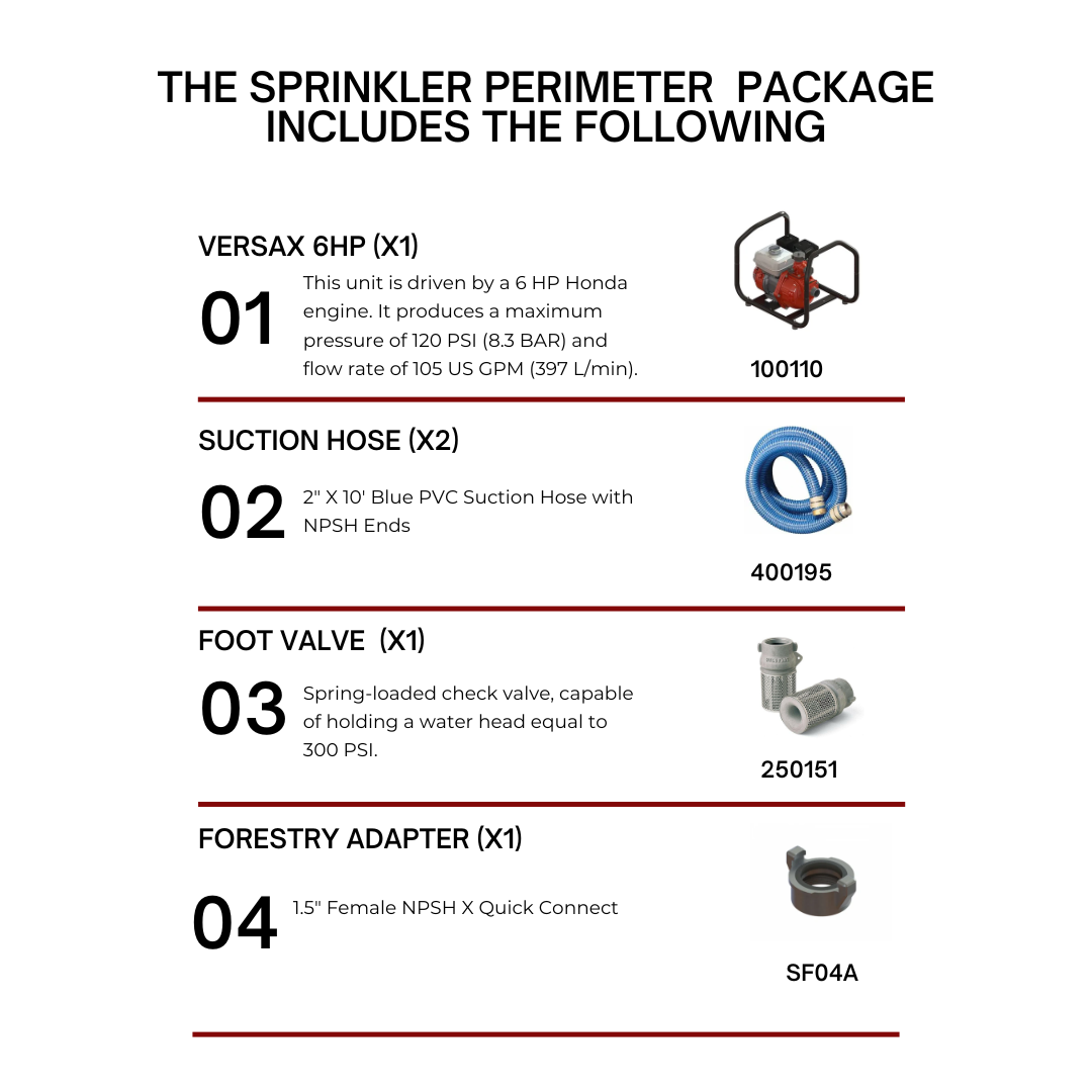
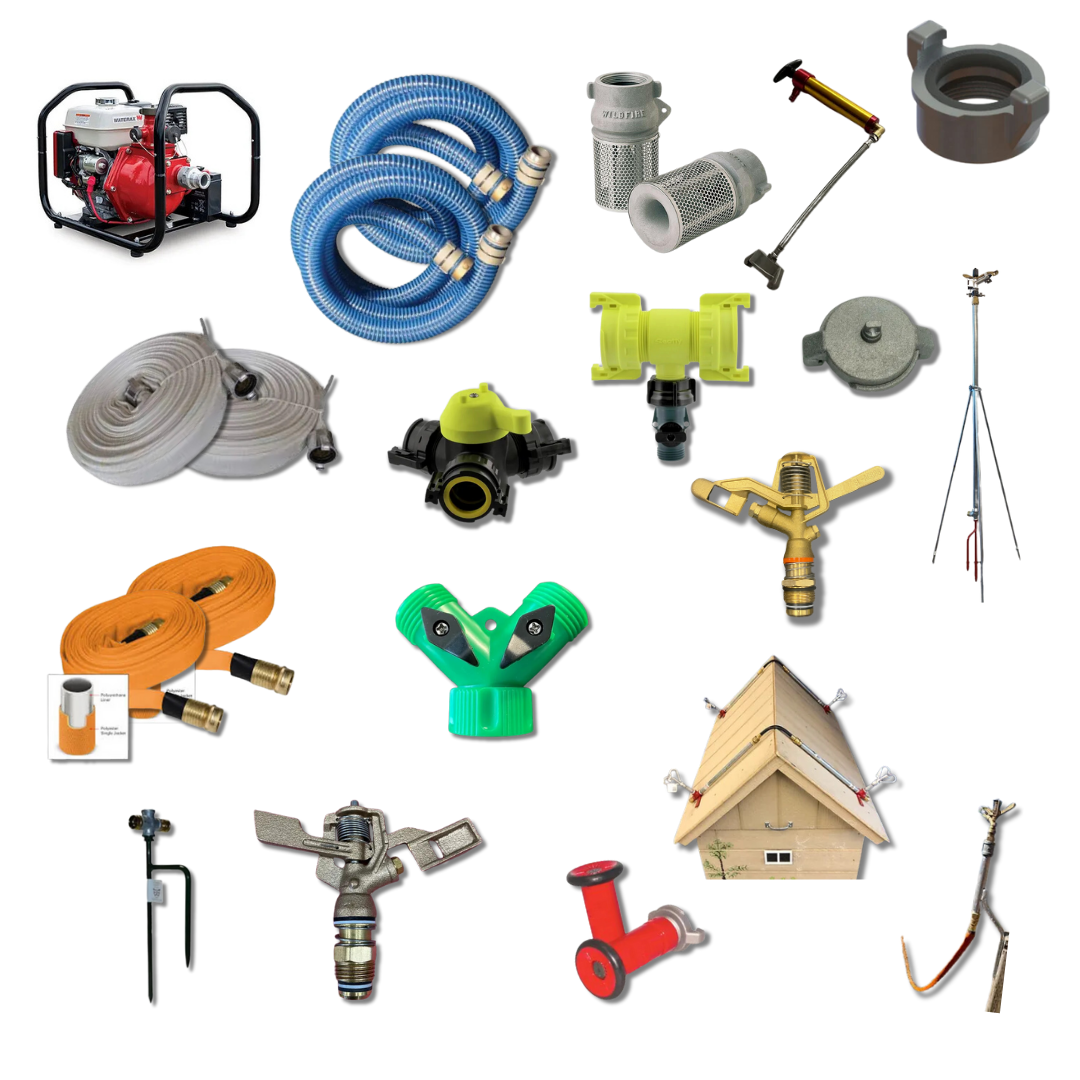
2. Protecting Property with Fire Suppression Equipment
Creating a reliable water movement and suppression setup is one of the most effective ways to defend your property during wildfire season. Flash Wildfire Services supplies a wide range of professional-grade equipment suited for both permanent installations and mobile deployment.
Key categories include:
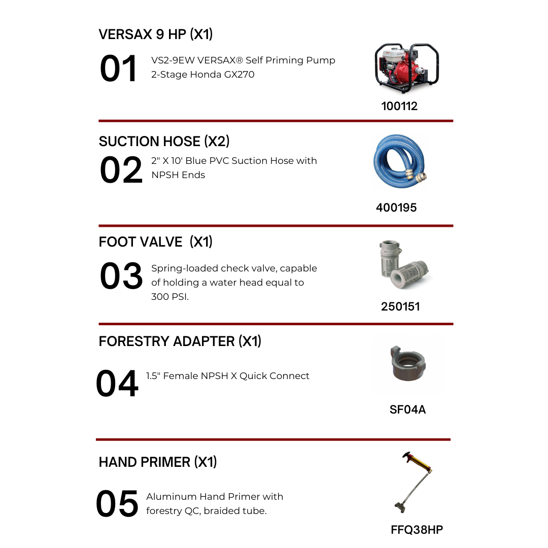
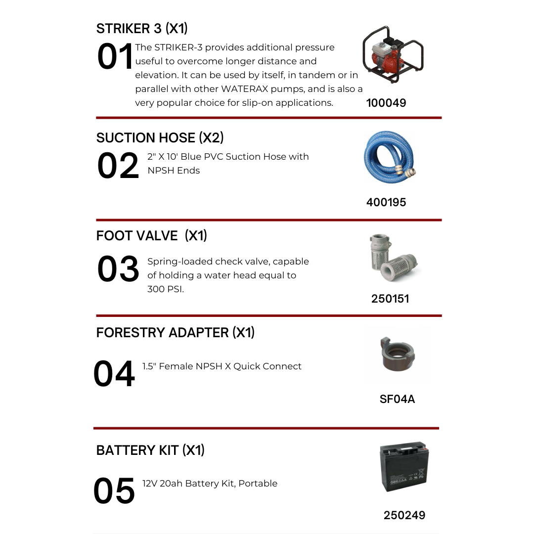
High-pressure fire pumps – Suitable for long hose runs, elevation gain, and fast water delivery
Portable pump setups – Lightweight and field-tested for rapid transport and deployment
Hose reels and rapid deployment systems – Designed for perimeter coverage and equipment staging
Foot valves and strainers – Help maintain clean, uninterrupted suction in open water sources
Sprinkler systems – For roofline, structure, or property-edge protection
Firefighting hoses and nozzles – Durable, camlock-compatible options for various flow and pressure needs
Every setup should be tailored to your property layout, water source, and risk profile. Our team can help you select compatible components to ensure reliable function in real-world wildfire conditions.
Don’t forget:
Use proper intake lines (1.5" or 2") with foot valves
Include quick-connect camlocks and adapters
Stage fuel safely using certified containers
Keep spare pump tools and field kits on hand
3. Creating a Defensible Zone
Within 10 metres of structures:
Use fire-resistant landscaping (rock, gravel)
Remove dead vegetation and debris
Avoid storing flammables beside buildings
Clear eaves and rooftops regularly
Across the property:
Prune tree canopies to maintain 2m clearance from ground
Space tree crowns 3–6m apart
Store fuels at least 6m from buildings
Install metal mesh over vents and soffits
Ensure road access: 3.5m wide, 4.5m vertical clearance
4. Securing the Site Before Evacuation
If there’s advance notice of wildfire threat:
Deploy sprinklers and hose lines
Wet down buildings and immediate grounds
Close and seal all openings
Shut off gas and power
Move tools and combustibles indoors
Ensure property access is clear for emergency crews
5. Reducing Supply Chain and Operational Risk
Wildfires can affect freight, fuel delivery, and vendor availability. Be proactive:
Identify alternate suppliers and logistics partners
Stock critical inventory ahead of fire season
Back up operational data offsite
Explore portable power and off-grid comms solutions
Communicate risk timelines to customers
6. Preparing for Business Continuity
Enable remote work protocols and equipment
Cross-train staff for essential functions
Cut non-essential expenses early
Pre-stage insurance claims materials
Prepare re-entry plans for post-evacuation cleanup
7. Insurance and Recovery Support
Ensure you’re covered with:
Commercial Property Insurance – For fire damage to buildings, tools, and assets
Business Interruption Insurance – For lost revenue during evacuation or recovery
Review your wildfire-specific coverage with your insurance advisor and ensure coverage is current before fire season begins.
Plan Ahead. Act Early. Stay Ready.
Wildfires move fast. Your response should be faster. At Flash Wildfire Services, we help Alberta businesses prepare with proven wildfire equipment, fast shipping, and expert guidance.
Contact our team to build your custom wildfire defense system before the next alert.

What Property Owners Need to Know Right Now
Wildfire activity across Canada and the western United States has surged dramatically this July, with over 500 active fires recorded nationwide and more than 200 burning out of control. Saskatchewan, Manitoba, and parts of the Northwest Territories are facing some of the highest fire loads in recent history — triggering new evacuation orders, highway closures, and air quality alerts. Alberta remains under watch, with localized flare-ups and smoke drift affecting air quality in several regions.
For both homeowners in wildland-urban interface (WUI) zones and commercial property owners near forested or grassland regions, this isn’t just another bad season. It’s a critical time to re-evaluate your wildfire defense strategy.
Key Wildfire Stats (as of July 20, 2025)
National Wildfire Database: 561 active wildfires across Canada, with 69 currently classified as out of control.
Saskatchewan & Manitoba: These are now the most heavily impacted provinces, with multiple out-of-control fires and recent evacuation orders affecting northern communities.
Northwest Territories: Aggressive fire growth near Jean Marie River and Fort Smith continues to drive emergency response efforts.
Evacuation Orders: In effect across parts of Saskatchewan, Manitoba, and the Northwest Territories.
Air Quality: Dense smoke has caused intermittent air quality alerts across the Prairies, including Saskatoon and southern Manitoba. Calgary and Edmonton are currently in moderate-risk zones.
Track Wildfires in Real-Time (Natural Resources Canada)
What’s Driving This Surge?
Meteorologists attribute the current surge in wildfire activity to a combination of prolonged drought, record-breaking heatwaves, and dry lightning events, particularly across the Prairies and the North.
While British Columbia has seen some lightning-caused fires earlier this season, it is not currently a hotspot. The majority of July’s new fire starts have been concentrated in Saskatchewan, Manitoba, and the Northwest Territories, many of them lightning-ignited in dry boreal zones.
Alberta's fire danger remains moderate, with localized areas showing high risk — but it is not under extreme province-wide threat as it was in spring.
What This Means for Property Owners
For Homeowners:
WUI properties are at increased risk from ember attacks — flying embers that ignite roofs, decks, and dry vegetation.
Most structure loss during wildfires begins with embers entering attic vents, eaves, and vegetation within 10m of the home.
Home defense kits (with fire-rated hose, sprinkler kits, and water supply pumps) are now considered essential in rural zones.
Shop Ember Protection Here
For Commercial Property Owners:
Industrial parks, warehouses, and agricultural facilities adjacent to brush or tree lines must assess:
Ventilation intake vulnerabilities
Combustible material storage
Staff training for emergency response
Many commercial claims are denied due to lack of active fire suppression systems or non-compliance with NFPA wildfire readiness guidelines.
NFPA Wildfire Preparedness for Businesses
Immediate Actions You Can Take
Clear Your 0–10 Meter Zone: Remove brush, mulch, and woodpiles. Clean gutters and cut grass. This is the critical ignition zone.
Check Your Fire Equipment: Test pumps, hoses, extinguishers, and backup generators. Ensure everything is operable and accessible.
Review Your Insurance Coverage: Confirm that your policy covers wildfire-related damage, including smoke and heat exposure.
Install Ember Protection: Mesh screens over attic vents, fire-resistant roof materials, and perimeter sprinklers make a measurable difference.
What to Expect Next
July 25–Aug 10: Saskatchewan, Manitoba, and the Northwest Territories are forecast to remain under high to extreme fire risk due to continued heat and dry conditions. While parts of Alberta may experience above-average temperatures, British Columbia is not projected for record-breaking heat, and fire activity is expected to remain stable.
NWT Outlook: Satellite monitoring indicates continued fire growth potential near Fort Smith, Jean Marie River, and the South Slave Region, driven by wind and dry fuel beds.
Smoke Plumes: Air quality across Manitoba, Saskatchewan, and parts of Ontario is expected to fluctuate through late July due to heavy wildfire smoke. Calgary and Edmonton are currently in the moderate range but could see temporary smoke drift depending on wind direction.
Wildfire Smoke Forecast (FireSmoke Canada)
Final Thought
Whether you're safeguarding a family home or managing a facility with millions in assets, the message this season is clear: wildfire readiness isn’t optional. The speed and scale of today’s fires leave little time for reactive measures. Proactive protection saves property — and lives.
For specialized wildfire defense kits, pump systems, and strategic equipment, contact our team. We’re here to support both homeowners and businesses facing fire-season risks head-on.